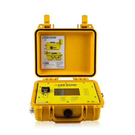
CEE ECHO™
The CEE HydroSystems CEE ECHO™ is a compact, single-beam echosounder engineered for high-precision bathymetric surveys in shallow water environments. Its robust and lightweight design, coupled with high-frequency sonar capabilities, makes it ideal for mapping underwater terrain in rivers, lakes, reservoirs, and coastal zones.
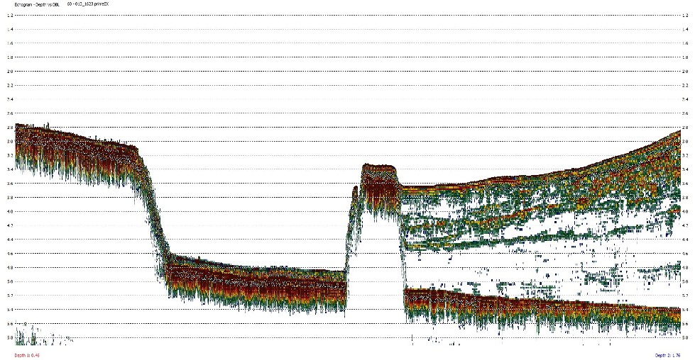
The system offers real-time depth measurement and recording with exceptional accuracy, essential for environmental monitoring, dredging projects, and hydrographic surveys. When paired with GNSS positioning systems, the CEE ECHO™ provides precise georeferenced bathymetric data, facilitating the creation of accurate underwater topography maps.
Operating at a frequency of 200 kHz, the CEE ECHO™ minimizes interference from surrounding water bodies while delivering a clear depiction of the underwater surface. It supports surveys typically up to 100 meters in both fresh and saltwater environments, making it valuable for sediment management, erosion monitoring, and ensuring dredging operations meet specifications. Its compatibility with standard hydrographic software allows for seamless integration into existing workflows, enabling detailed analysis of underwater features. The CEE ECHO™ is recognized for its reliability, accuracy, and versatility in challenging surveying conditions.