CEE SCOPE™
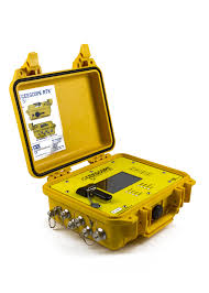
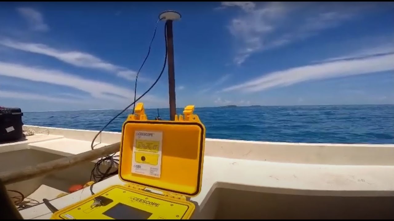
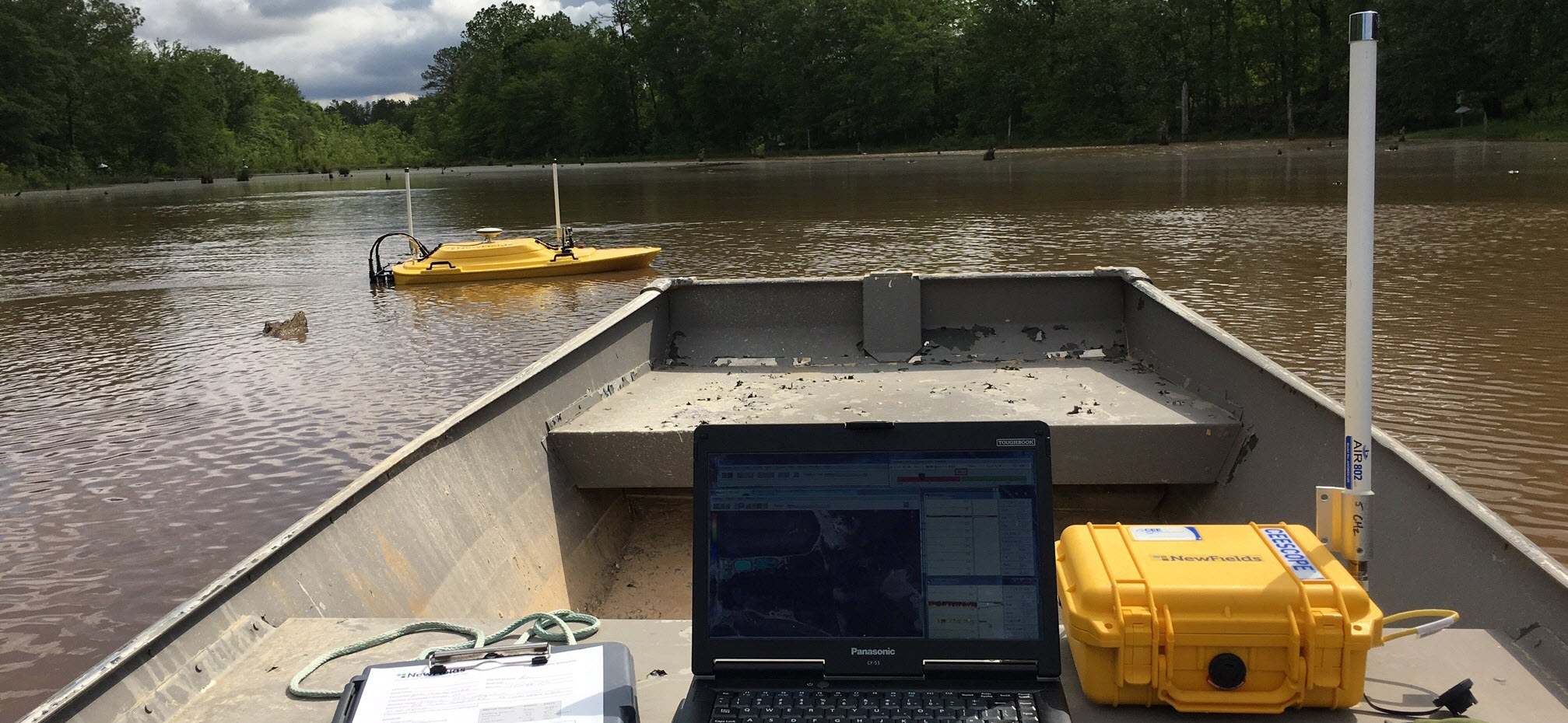
The CEE Hydrosystems CEESCOPE™ is a highly integrated, all-in-one hydrographic survey system designed for precise bathymetric surveys across various environments, including inland waters and coastal zones. It combines a dual-frequency echo sounder, GNSS positioning, and a data acquisition system into a single compact unit, simplifying hydrographic surveys by providing real-time, high-accuracy depth and positioning data. This system is particularly valuable in scenarios where accurate seafloor mapping and water depth measurements are essential, such as harbors, rivers, lakes, and coastal surveys.
The dual-frequency echo sounder facilitates both detailed bottom mapping and detection of sub-bottom layers, offering insights into sediment thickness and underwater structures. The CEESCOPE™ is widely utilized in hydrological and environmental monitoring, dredging operations, and infrastructure projects like port and coastal development. Its portability and ease of setup make it compatible with various survey platforms, from manned vessels to remotely operated boats.
The integrated GPS/GNSS receiver provides accurate geospatial data, crucial for location-based depth measurements, while internal data logging and real-time display enhance field operation efficiency. With its rugged design, the CEESCOPE™ is built to perform reliably in challenging conditions, including shallow, turbulent, or debris-filled waters, making it an essential tool for professionals conducting hydrographic surveys in diverse environments.